Shop
US Gewässer
Verfeinern nach

NOAA Chart 11006 - Gulf Coast - Key West to Mississippi River
NOAA Chart 11006 - Gulf Coast - Key West to Mississippi River
€24,80
Preis inkl. 7% MwSt
zzgl.
Versand
Herausgeber: NOAA

NOAA Chart 11009 - Cape Hatteras to Straits of Florida
NOAA Chart 11009 - Cape Hatteras to Straits of Florida
€24,80
Preis inkl. 7% MwSt
zzgl.
Versand
Herausgeber: NOAA

NOAA Chart 11013 - Straits of Florida and Approaches
NOAA Chart 11013 - Straits of Florida and Approaches
€24,80
Preis inkl. 7% MwSt
zzgl.
Versand
Herausgeber: NOAA

NOAA Chart 1113A - Havana to Tampa Bay (Oil and Gas Leasing Areas)
NOAA Chart 1113A - Havana to Tampa Bay (Oil and Gas Leasing Areas)
€24,80
Preis inkl. 7% MwSt
zzgl.
Versand
Herausgeber: NOAA

NOAA Chart 1114A - Tampa Bay to Cape San Blas (Oil and Gas Leasing Areas)
NOAA Chart 1114A - Tampa Bay to Cape San Blas (Oil and Gas Leasing Areas)
€24,80
Preis inkl. 7% MwSt
zzgl.
Versand
Herausgeber: NOAA
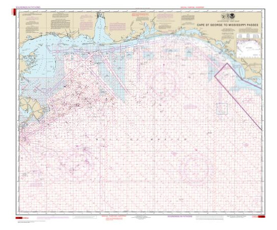
NOAA Chart 1115A - Cape St. George to Mississippi Passes (Oil and Gas Leasing Areas)
NOAA Chart 1115A - Cape St. George to Mississippi Passes (Oil and Gas Leasing Areas)
€24,80
Preis inkl. 7% MwSt
zzgl.
Versand
Herausgeber: NOAA

NOAA Chart 1116A - Mississippi River to Galveston (Oil and Gas Leasing Areas)
NOAA Chart 1116A - Mississippi River to Galveston (Oil and Gas Leasing Areas)
€24,80
Preis inkl. 7% MwSt
zzgl.
Versand
Herausgeber: NOAA

NOAA Chart 1117A - Galveston to Rio Grande (Oil and Gas Leasing Areas)
NOAA Chart 1117A - Galveston to Rio Grande (Oil and Gas Leasing Areas)
€24,80
Preis inkl. 7% MwSt
zzgl.
Versand
Herausgeber: NOAA

NOAA Chart 11300 - Galveston to Rio Grande
NOAA Chart 11300 - Galveston to Rio Grande
€24,80
Preis inkl. 7% MwSt
zzgl.
Versand
Herausgeber: NOAA

NOAA Chart 11301 - Southern part of Laguna Madre
NOAA Chart 11301 - Southern part of Laguna Madre
€24,80
Preis inkl. 7% MwSt
zzgl.
Versand
Herausgeber: NOAA

NOAA Chart 11308 - Intracoastal Waterway Redfish Bay to Middle Ground
NOAA Chart 11308 - Intracoastal Waterway Redfish Bay to Middle Ground
€24,80
Preis inkl. 7% MwSt
zzgl.
Versand
Herausgeber: NOAA

NOAA Chart 11309 - Corpus Christi Bay
NOAA Chart 11309 - Corpus Christi Bay
€24,80
Preis inkl. 7% MwSt
zzgl.
Versand
Herausgeber: NOAA

NOAA Chart 11311 - Corpus Christi Harbor
NOAA Chart 11311 - Corpus Christi Harbor
€24,80
Preis inkl. 7% MwSt
zzgl.
Versand
Herausgeber: NOAA

NOAA Chart 11322 - Intracoastal Waterway Galveston Bay to Cedar Lakes
NOAA Chart 11322 - Intracoastal Waterway Galveston Bay to Cedar Lakes
€24,80
Preis inkl. 7% MwSt
zzgl.
Versand
Herausgeber: NOAA

NOAA Chart 11323 - Approaches to Galveston Bay
NOAA Chart 11323 - Approaches to Galveston Bay
€24,80
Preis inkl. 7% MwSt
zzgl.
Versand
Herausgeber: NOAA
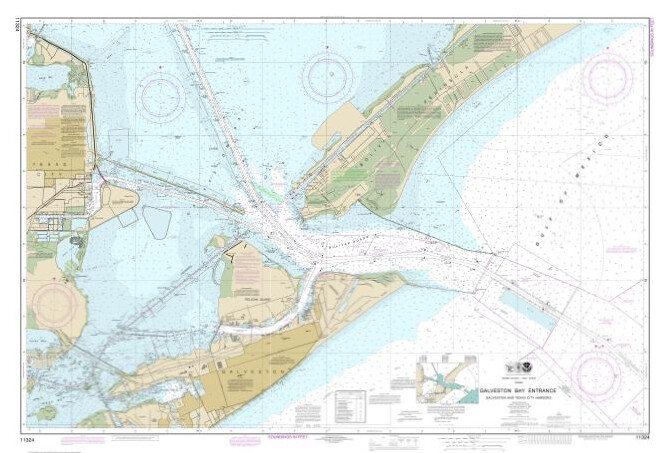
NOAA Chart 11324 - Galveston Bay Entrance Galveston and Texas City Harbors
NOAA Chart 11324 - Galveston Bay Entrance Galveston and Texas City Harbors
€24,80
Preis inkl. 7% MwSt
zzgl.
Versand
Herausgeber: NOAA

NOAA Chart 11325 - Houston Ship Channel Carpenters Bayou to Houston
NOAA Chart 11325 - Houston Ship Channel Carpenters Bayou to Houston
€24,80
Preis inkl. 7% MwSt
zzgl.
Versand
Herausgeber: NOAA

NOAA Chart 11326 - Galveston Bay
NOAA Chart 11326 - Galveston Bay
€24,80
Preis inkl. 7% MwSt
zzgl.
Versand
Herausgeber: NOAA

NOAA Chart 11330 - Mermentau River to Freeport
NOAA Chart 11330 - Mermentau River to Freeport
€24,80
Preis inkl. 7% MwSt
zzgl.
Versand
Herausgeber: NOAA

NOAA Chart 11331 - Intracoastal Waterway Ellender to Galveston Bay
NOAA Chart 11331 - Intracoastal Waterway Ellender to Galveston Bay
€24,80
Preis inkl. 7% MwSt
zzgl.
Versand
Herausgeber: NOAA

NOAA Chart 11340 - Mississippi River to Galveston
NOAA Chart 11340 - Mississippi River to Galveston
€24,80
Preis inkl. 7% MwSt
zzgl.
Versand
Herausgeber: NOAA

NOAA Chart 11343 - Sabine and Neches Rivers
NOAA Chart 11343 - Sabine and Neches Rivers
€24,80
Preis inkl. 7% MwSt
zzgl.
Versand
Herausgeber: NOAA

NOAA Chart 11345 - Intracoastal Waterway New Orleans to Calcasieu River West Section
NOAA Chart 11345 - Intracoastal Waterway New Orleans to Calcasieu River West Section
€24,80
Preis inkl. 7% MwSt
zzgl.
Versand
Herausgeber: NOAA
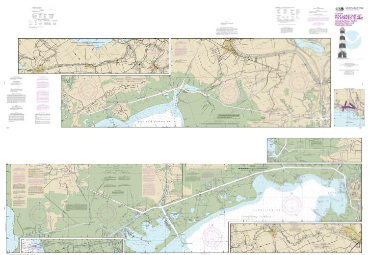
NOAA Chart 11350 - Intracoastal Waterway Wax Lake Outlet to Forked Island including Bayou Teche, Vermilion River, and
Freshwater Bayou
NOAA Chart 11350 - Intracoastal Waterway Wax Lake Outlet to Forked Island including Bayou Teche, Vermilion River, and
Freshwater Bayou
€24,80
Preis inkl. 7% MwSt
zzgl.
Versand
Herausgeber: NOAA

NOAA Chart 11351 - Point au Fer to Marsh Island
NOAA Chart 11351 - Point au Fer to Marsh Island
€24,80
Preis inkl. 7% MwSt
zzgl.
Versand
Herausgeber: NOAA

NOAA Chart 11352 - Intracoastal Waterway New Orleans to Calcasieu River East Section
NOAA Chart 11352 - Intracoastal Waterway New Orleans to Calcasieu River East Section
€24,80
Preis inkl. 7% MwSt
zzgl.
Versand
Herausgeber: NOAA

NOAA Chart 11354 - Intracoastal Waterway Morgan City to Port Allen, including the Atchafalaya River
NOAA Chart 11354 - Intracoastal Waterway Morgan City to Port Allen, including the Atchafalaya River
€24,80
Preis inkl. 7% MwSt
zzgl.
Versand
Herausgeber: NOAA

NOAA Chart 11358 - Barataria Bay and approaches
NOAA Chart 11358 - Barataria Bay and approaches
€24,80
Preis inkl. 7% MwSt
zzgl.
Versand
Herausgeber: NOAA

NOAA Chart 11360 - Cape St. George to Mississippi Passes
NOAA Chart 11360 - Cape St. George to Mississippi Passes
€24,80
Preis inkl. 7% MwSt
zzgl.
Versand
Herausgeber: NOAA

NOAA Chart 11366 - Approaches to Mississippi River
NOAA Chart 11366 - Approaches to Mississippi River
€24,80
Preis inkl. 7% MwSt
zzgl.
Versand
Herausgeber: NOAA

NOAA Chart 11367 - Intracoastal Waterway Waveland to Catahoula Bay
NOAA Chart 11367 - Intracoastal Waterway Waveland to Catahoula Bay
€24,80
Preis inkl. 7% MwSt
zzgl.
Versand
Herausgeber: NOAA

NOAA Chart 11368 - New Orleans Harbor Chalmette Slip to Southport
NOAA Chart 11368 - New Orleans Harbor Chalmette Slip to Southport
€24,80
Preis inkl. 7% MwSt
zzgl.
Versand
Herausgeber: NOAA

NOAA Chart 11369 - Lakes Pontchartrain and Maurepas
NOAA Chart 11369 - Lakes Pontchartrain and Maurepas
€24,80
Preis inkl. 7% MwSt
zzgl.
Versand
Herausgeber: NOAA

NOAA Chart 11372 - Intracoastal Waterway Dog Keys Pass to Waveland
NOAA Chart 11372 - Intracoastal Waterway Dog Keys Pass to Waveland
€24,80
Preis inkl. 7% MwSt
zzgl.
Versand
Herausgeber: NOAA
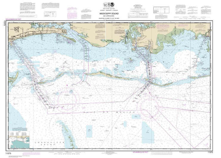
NOAA Chart 11373 - Mississippi Sound and approaches Dauphin Island to Cat Island
NOAA Chart 11373 - Mississippi Sound and approaches Dauphin Island to Cat Island
€24,80
Preis inkl. 7% MwSt
zzgl.
Versand
Herausgeber: NOAA

NOAA Chart 11374 - Intracoastal Waterway Dauphin Island to Dog Keys Pass
NOAA Chart 11374 - Intracoastal Waterway Dauphin Island to Dog Keys Pass
€24,80
Preis inkl. 7% MwSt
zzgl.
Versand
Herausgeber: NOAA

NOAA Chart 11375 - Pascagoula Harbor
NOAA Chart 11375 - Pascagoula Harbor
€24,80
Preis inkl. 7% MwSt
zzgl.
Versand
Herausgeber: NOAA

NOAA Chart 11376 - Mobile Bay Mobile Ship Channel-Northern End
NOAA Chart 11376 - Mobile Bay Mobile Ship Channel-Northern End
€24,80
Preis inkl. 7% MwSt
zzgl.
Versand
Herausgeber: NOAA

NOAA Chart 11378 - Intracoastal Waterway Santa Rosa Sound to Dauphin Island
NOAA Chart 11378 - Intracoastal Waterway Santa Rosa Sound to Dauphin Island
€24,80
Preis inkl. 7% MwSt
zzgl.
Versand
Herausgeber: NOAA

NOAA Chart 11382 - Pensacola Bay and approaches
NOAA Chart 11382 - Pensacola Bay and approaches
€24,80
Preis inkl. 7% MwSt
zzgl.
Versand
Herausgeber: NOAA

NOAA Chart 11383 - Pensacola Bay
NOAA Chart 11383 - Pensacola Bay
€24,80
Preis inkl. 7% MwSt
zzgl.
Versand
Herausgeber: NOAA

NOAA Chart 11389 - St Joseph and St Andrew Bays
NOAA Chart 11389 - St Joseph and St Andrew Bays
€24,80
Preis inkl. 7% MwSt
zzgl.
Versand
Herausgeber: NOAA

NOAA Chart 11390 - Intracoastal Waterway East Bay to West Bay
NOAA Chart 11390 - Intracoastal Waterway East Bay to West Bay
€24,80
Preis inkl. 7% MwSt
zzgl.
Versand
Herausgeber: NOAA

NOAA Chart 11391 - St. Andrew Bay
NOAA Chart 11391 - St. Andrew Bay
€24,80
Preis inkl. 7% MwSt
zzgl.
Versand
Herausgeber: NOAA

NOAA Chart 11392 - St. Andrew Bay - Bear Point to Sulpher Point
NOAA Chart 11392 - St. Andrew Bay - Bear Point to Sulpher Point
€24,80
Preis inkl. 7% MwSt
zzgl.
Versand
Herausgeber: NOAA

NOAA Chart 11400 - Tampa Bay to Cape San Blas
NOAA Chart 11400 - Tampa Bay to Cape San Blas
€24,80
Preis inkl. 7% MwSt
zzgl.
Versand
Herausgeber: NOAA
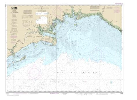
NOAA Chart 11405 - Apalachee Bay
NOAA Chart 11405 - Apalachee Bay
€24,80
Preis inkl. 7% MwSt
zzgl.
Versand
Herausgeber: NOAA

NOAA Chart 11411 - Intracoastal Waterway Tampa Bay to Port Richey
NOAA Chart 11411 - Intracoastal Waterway Tampa Bay to Port Richey
€24,80
Preis inkl. 7% MwSt
zzgl.
Versand
Herausgeber: NOAA

NOAA Chart 11412 - Tampa Bay and St. Joseph Sound
NOAA Chart 11412 - Tampa Bay and St. Joseph Sound
€24,80
Preis inkl. 7% MwSt
zzgl.
Versand
Herausgeber: NOAA

NOAA Chart 11415 - Tampa Bay Entrance; Manatee River Extension
NOAA Chart 11415 - Tampa Bay Entrance; Manatee River Extension
€24,80
Preis inkl. 7% MwSt
zzgl.
Versand
Herausgeber: NOAA

NOAA Chart 11416 - Tampa Bay;Safety Harbor;St. Petersburg;Tampa
NOAA Chart 11416 - Tampa Bay;Safety Harbor;St. Petersburg;Tampa
€24,80
Preis inkl. 7% MwSt
zzgl.
Versand
Herausgeber: NOAA

NOAA Chart 11420 - Havana to Tampa Bay
NOAA Chart 11420 - Havana to Tampa Bay
€24,80
Preis inkl. 7% MwSt
zzgl.
Versand
Herausgeber: NOAA

NOAA Chart 11425 - Intracoastal Waterway Charlotte Harbor to Tampa Bay
NOAA Chart 11425 - Intracoastal Waterway Charlotte Harbor to Tampa Bay
€24,80
Preis inkl. 7% MwSt
zzgl.
Versand
Herausgeber: NOAA

NOAA Chart 11426 - Estero Bay to Lemon Bay, including Charlotte Harbor;Continuation of Peace River
NOAA Chart 11426 - Estero Bay to Lemon Bay, including Charlotte Harbor;Continuation of Peace River
€24,80
Preis inkl. 7% MwSt
zzgl.
Versand
Herausgeber: NOAA

NOAA Chart 11427 - Intracoastal Waterway Fort Myers to Charlotte Harbor and Wiggins Pass
NOAA Chart 11427 - Intracoastal Waterway Fort Myers to Charlotte Harbor and Wiggins Pass
€24,80
Preis inkl. 7% MwSt
zzgl.
Versand
Herausgeber: NOAA

NOAA Chart 11428 - Okeechobee Waterway St. Lucie Inlet to Fort Myers; Lake Okeechobee
NOAA Chart 11428 - Okeechobee Waterway St. Lucie Inlet to Fort Myers; Lake Okeechobee
€24,80
Preis inkl. 7% MwSt
zzgl.
Versand
Herausgeber: NOAA

NOAA Chart 11434 - Florida Keys Sombrero Key to Dry Tortugas
NOAA Chart 11434 - Florida Keys Sombrero Key to Dry Tortugas
€24,80
Preis inkl. 7% MwSt
zzgl.
Versand
Herausgeber: NOAA
Preise anzeigen in:
EUR
Copyright © Alle Rechte vorbehalten.


